Signage Installation Checklist
Waypoints, photos, and supplies needed for each sign location
Supplies Summary
| Location | Supplies Needed | Signage Needed |
|---|---|---|
| POI #1A | nails/stapler | Map, 1 x "1a" trail marker sign |
| POI #1B | nails/stapler | Map, 2 x "1b" trail marker signs |
| POI #2 | Bolts/Screws, zip ties | Map, 2 x "2" trail marker signs |
| POI #3 | nails/stapler | Map, 1 x "3" trail marker signs |
| POI #4 | 1 metal post, bolts/nuts, zipties | Map, 2 x "4" trail marker signs |
| POI #5 | metal post, bolts/nuts, zipties | map, 2 x "5" trail marker signs |
| POI #6 | metal post, bolts/nuts, zipties | map, 2 x "6" trail marker signs |
| POI #7 | nails/staples | map and 1 x "7" trail sign |
| Corner Between 7and8 | nails | Directional arrow signs x 2 |
| POI #8 | Metal post, bolts | Map, 1 x "8" trail marker sign |
| POI #9 | bolts/screws, zipties | map, 2 x "9" trail marker signs |
| POI #10 | nails | map, 2 x "10" trail marker signs |
| POI #11 | nails | map, 2 x "11" trail markers |
| POI #12 | bolts/screws, zip ties | map, 1 x "12" trail marker signs |
| POI #13 | nails | map, 1 x "13" sign |
| POI #14 | metal post, bolt/screws, zip ties | map, 1 x "14" trailmarker |
| POI #15 | nails | map, 2 x "15" trail marker signs |
| POI #16 | zipties | map, 2 x "16" trail marker signs |
Detailed Waypoint List
POI #1A
Right next to the technology demonstration building. Might be able to use an existing post to put a map and "1a" sign.
No photos on file.
POI #1B
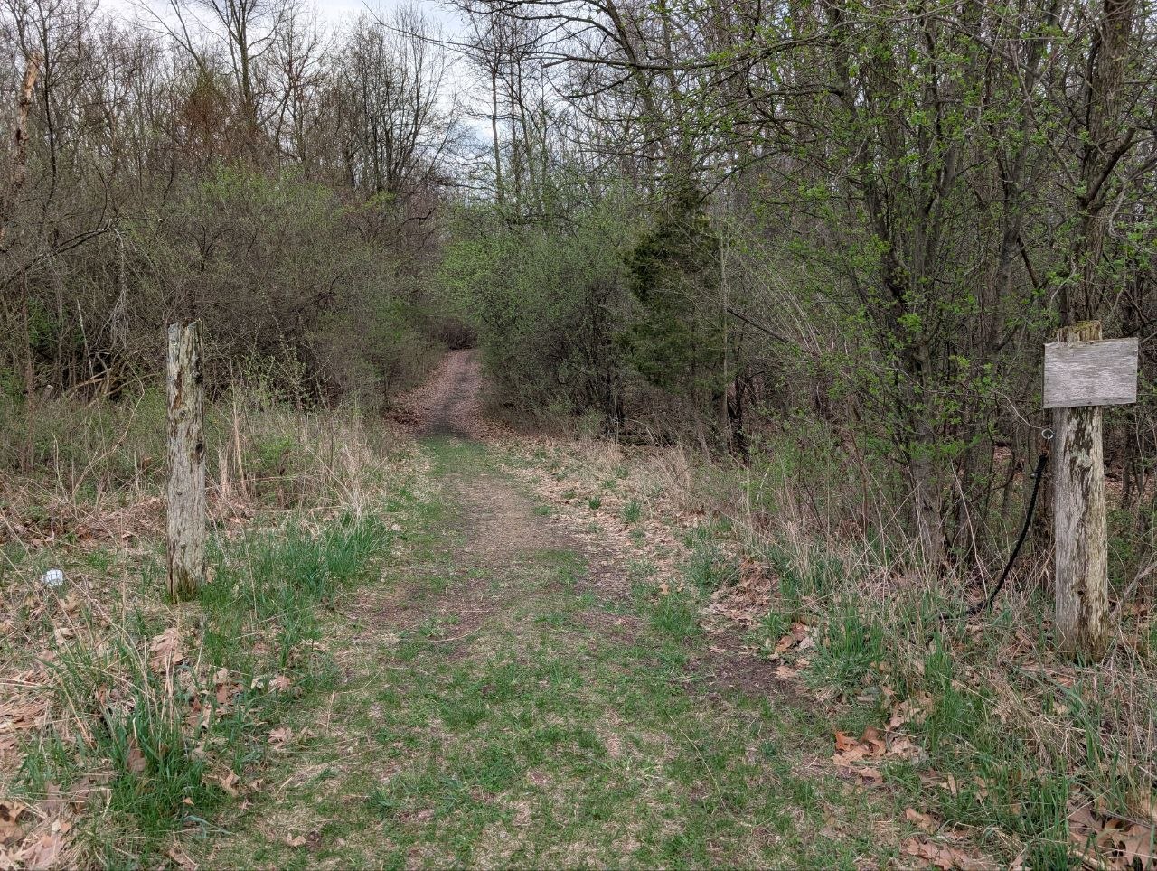
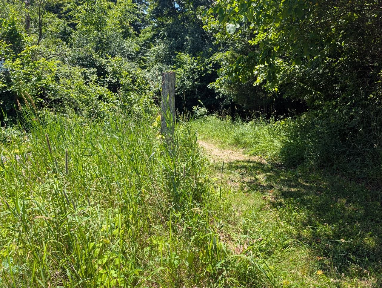
Right next to the parking lot, theres an existing post that we can probably use.
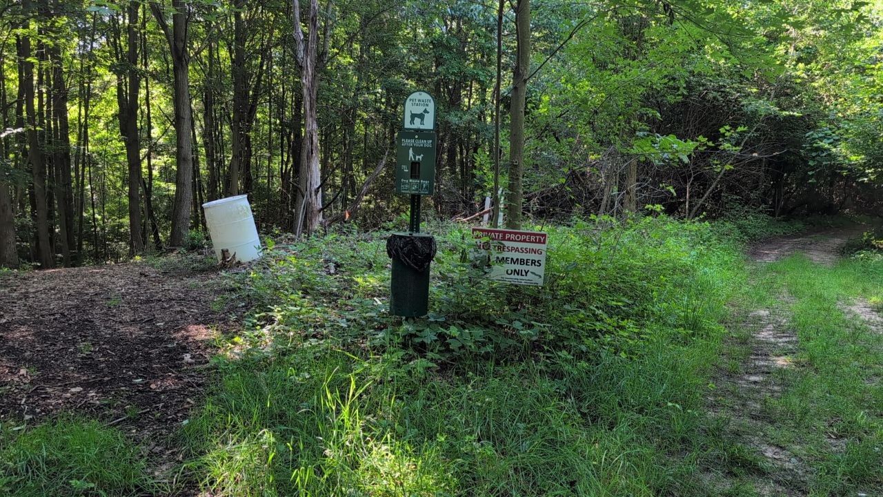
POI #2
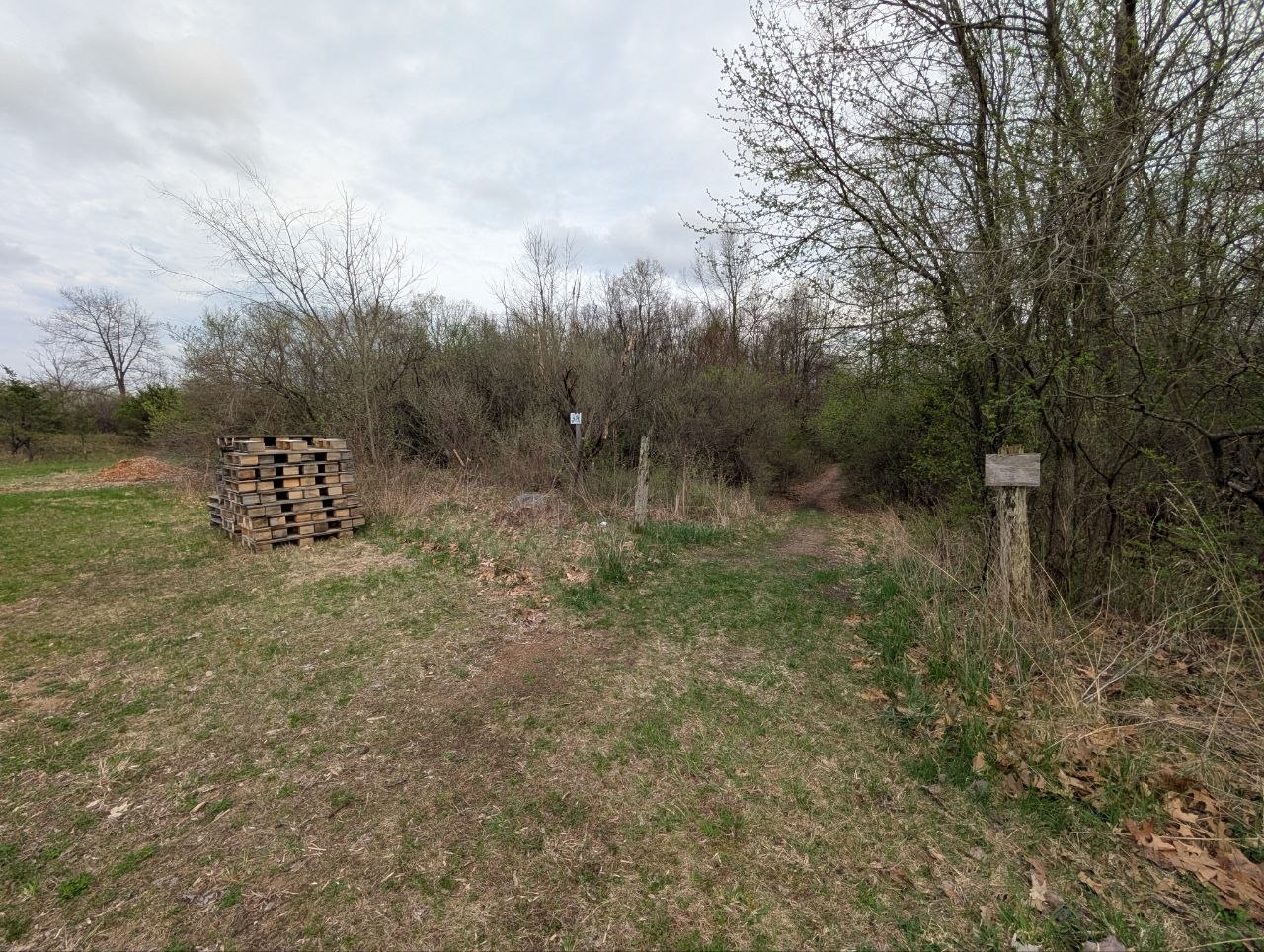
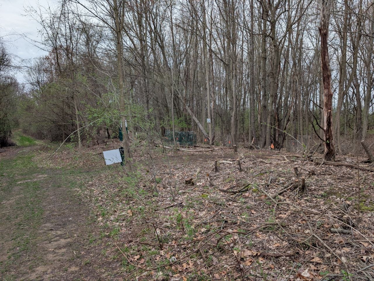
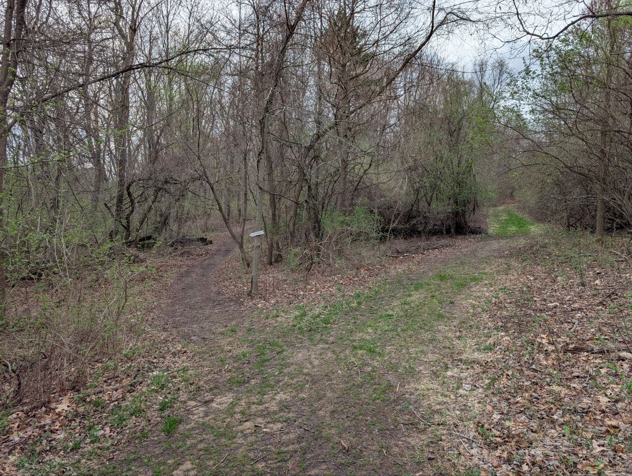
This is at a major trail intersection where a doggie bag dispenser is located. We might be able to attach the map and "2" sign to the same metal post.
POI #3
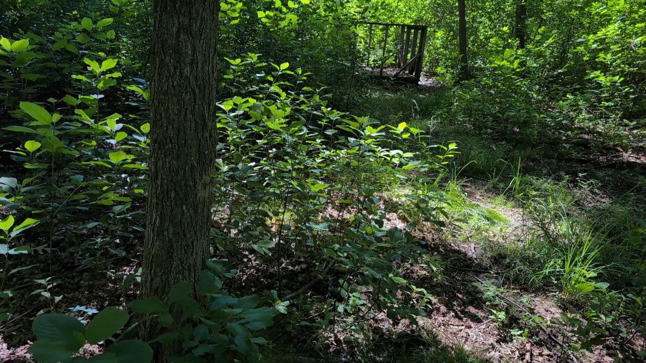
This is located by the east bog platform. There is a tree we could utilize for the map and "3" signs.
POI #4
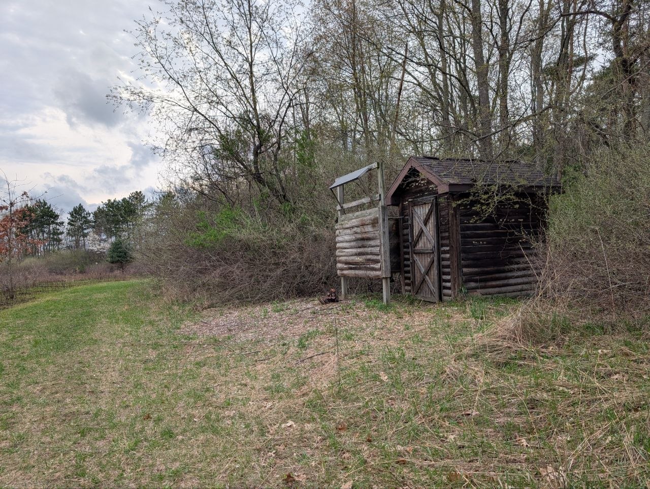
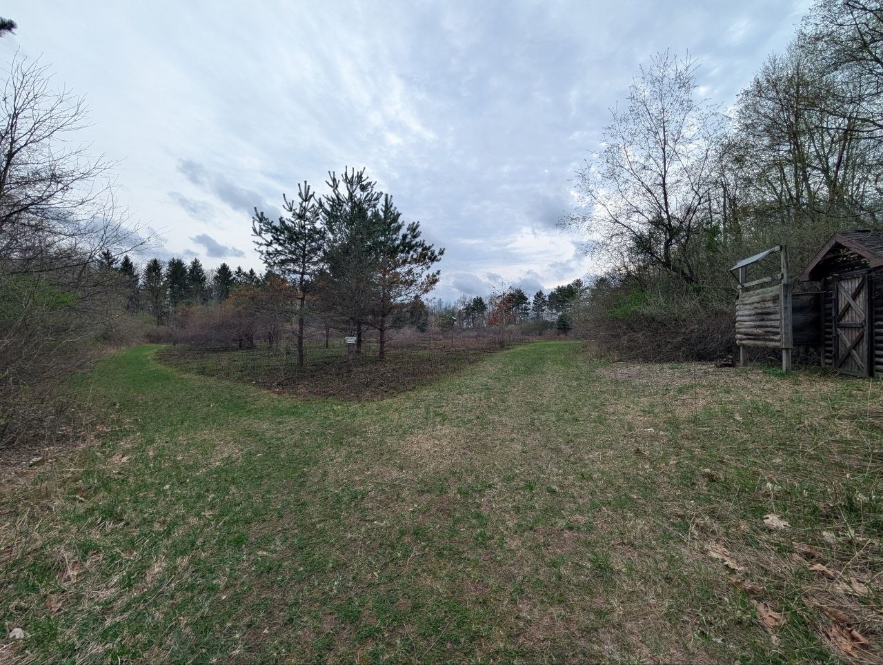
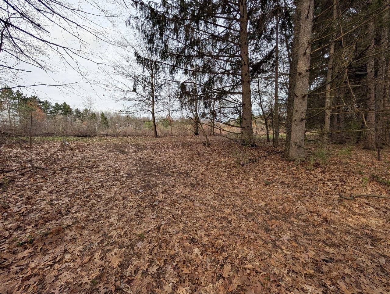
The northeast intersection of the controlled burn area. Existing signs are attached to a tree but the grass is already as tall as those signs. Consider putting a metal post in closer to the maintained trail.
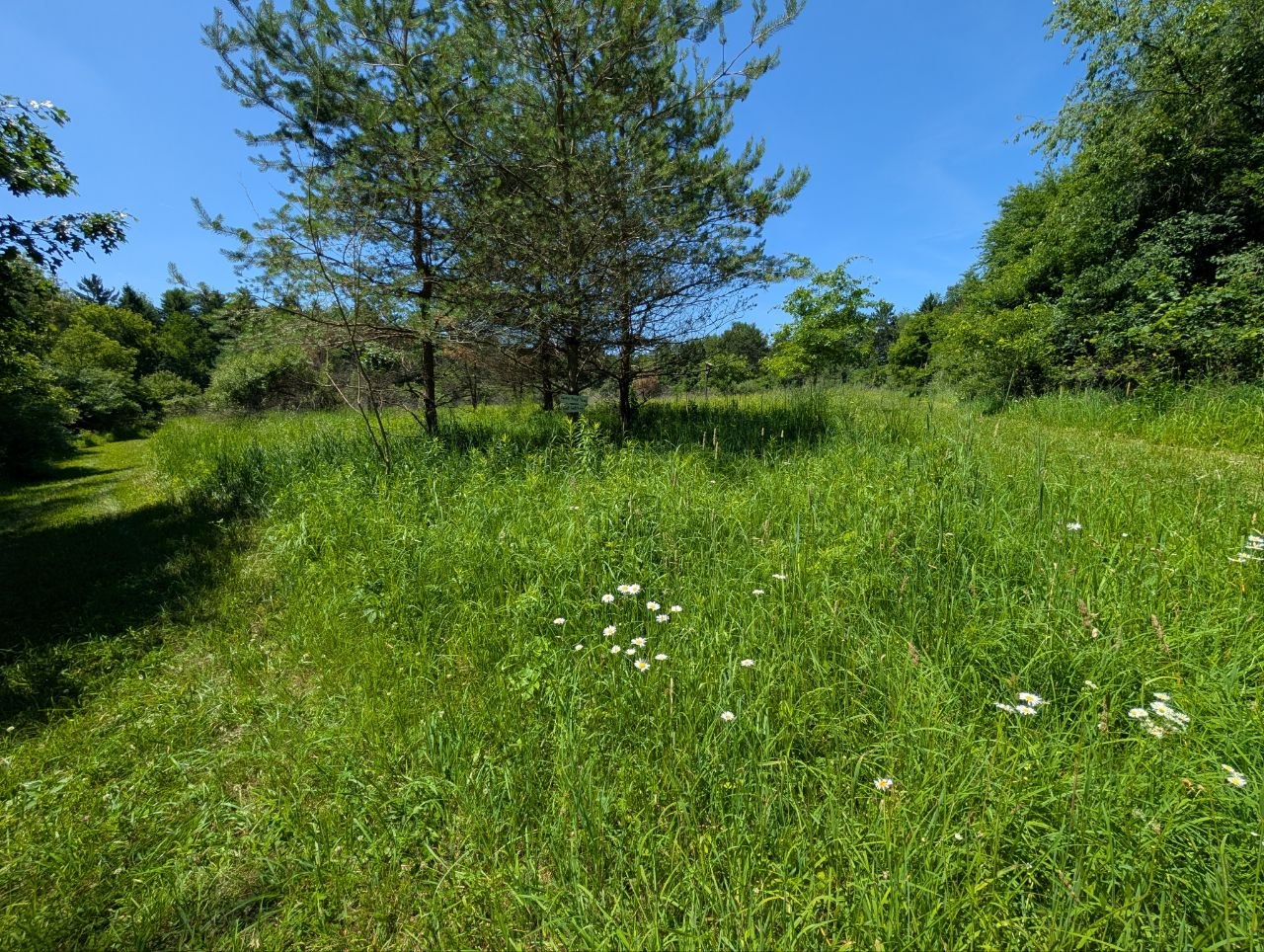
POI #5
Southwest intersections of the controlled burn field area. Currently theres a small 1 ft tall sign at the corner. I think a metal post would be best here.
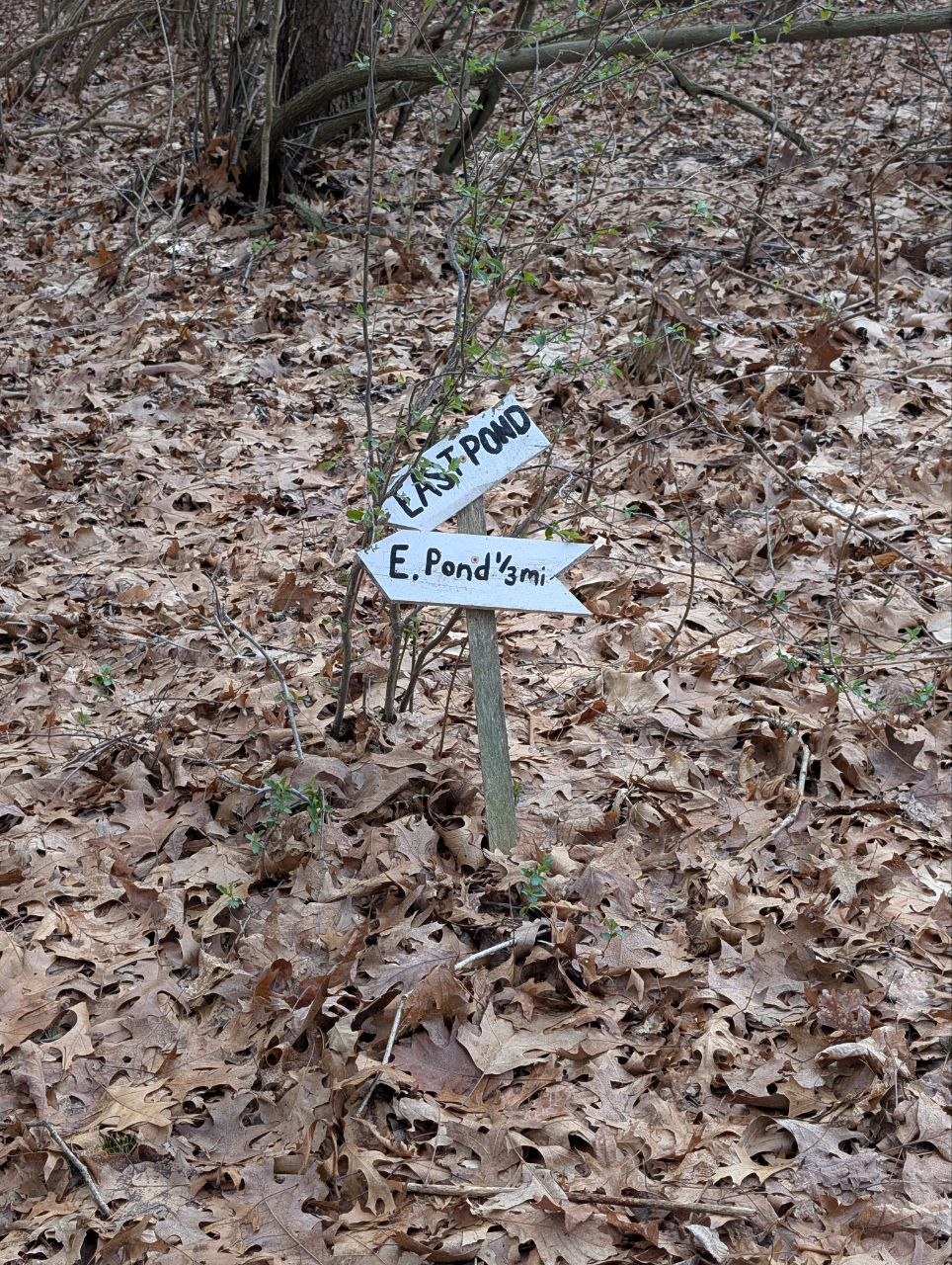
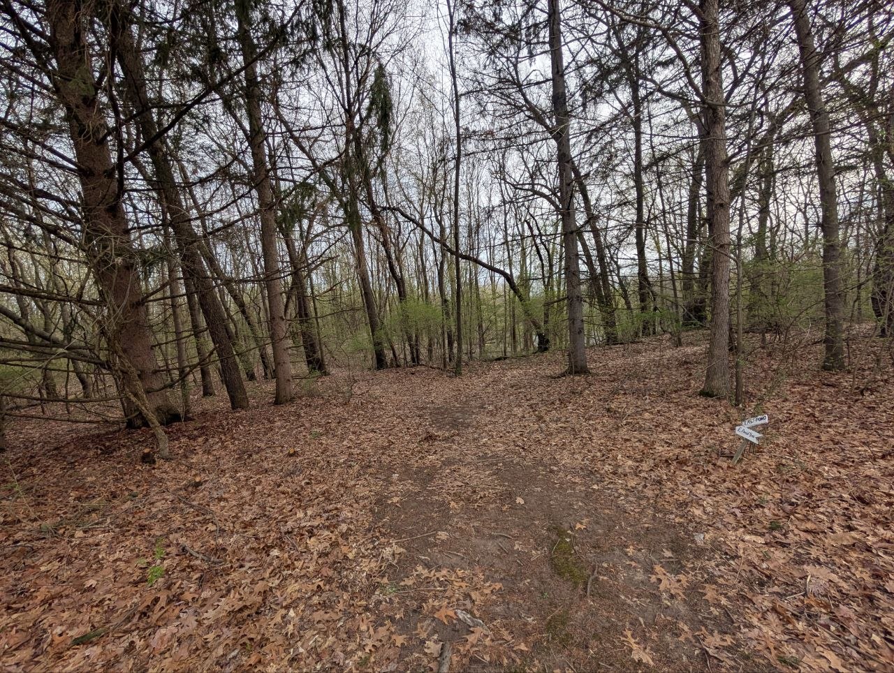
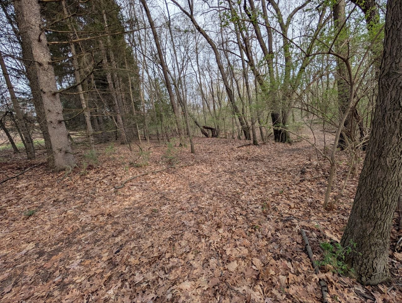
POI #6
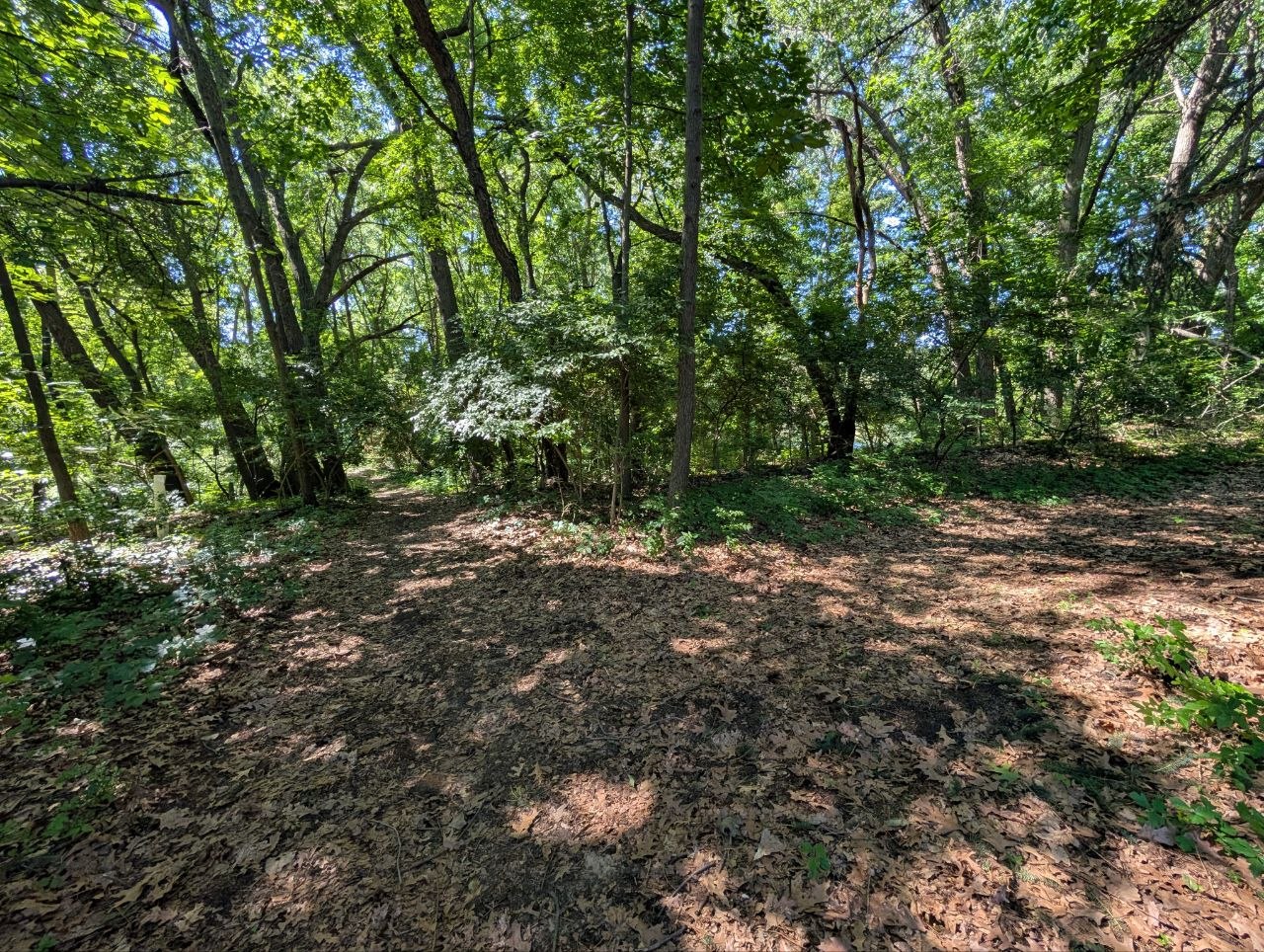
This is an intersection towards the southeast part of the trail system between pond WM6. It splits the trail going south towards waypoint 7 and the other going east towards waypoint 8. There is no suitable tree or post, so one will be needed at this intersection.
POI #7
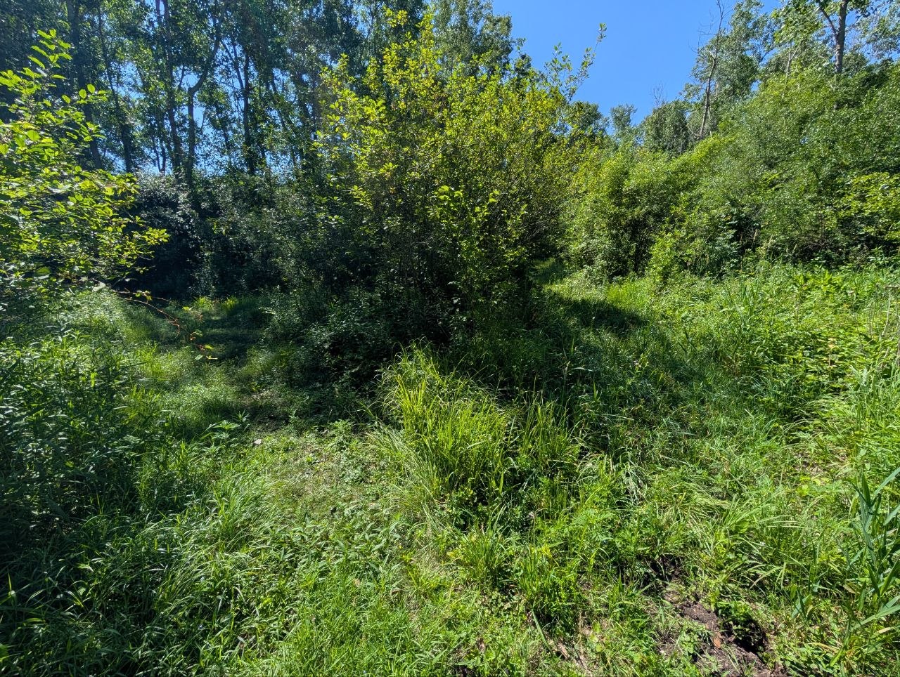
Three way crossroads. There is a tree that can accommodate a map and trail sign.
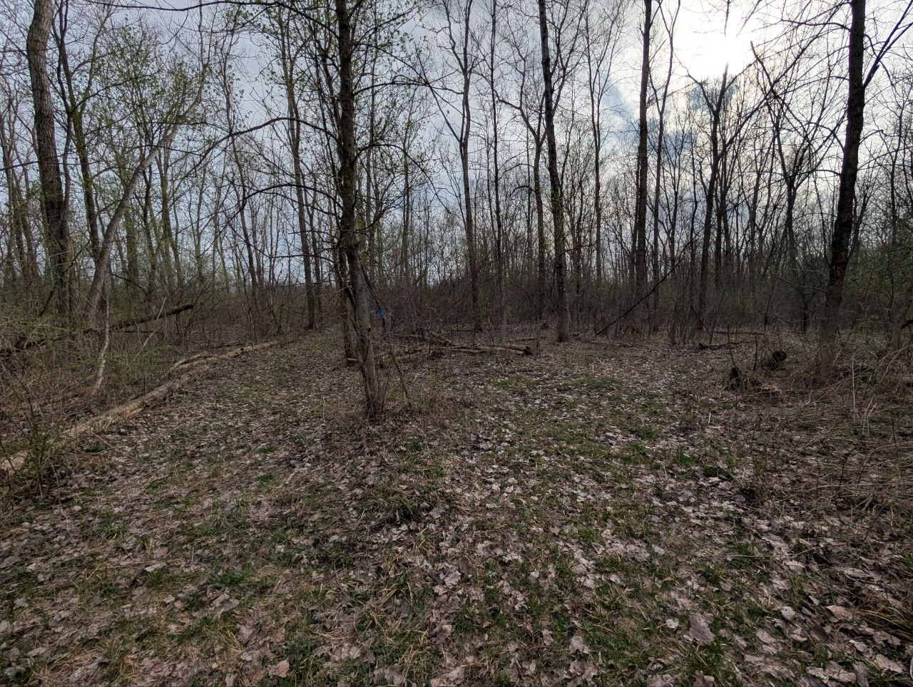
Corner Between 7and8
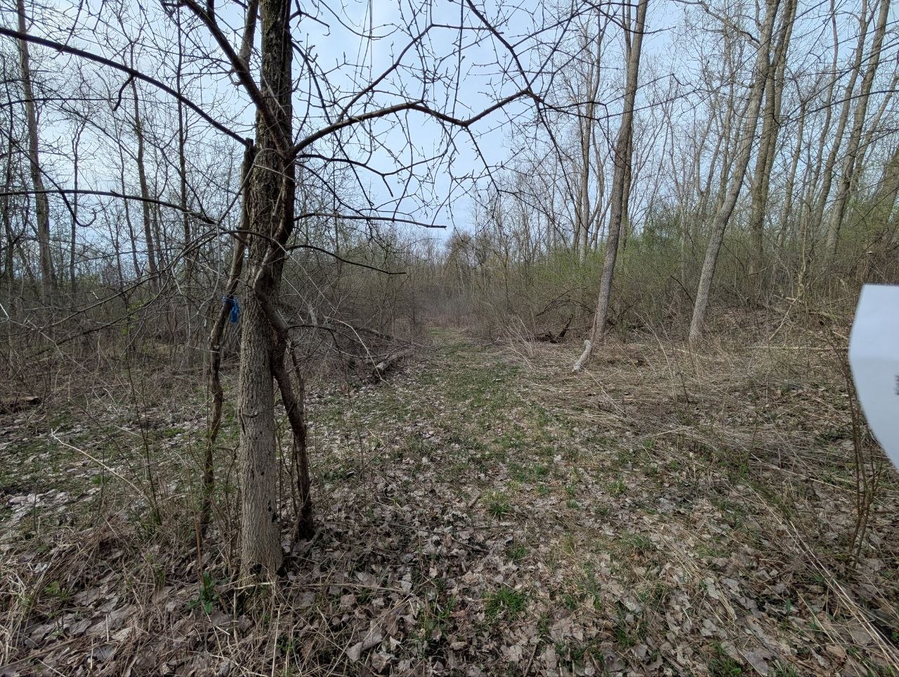
needs directional arrows indicating trail from both directions. There are trees we can use, be sure to use two nails
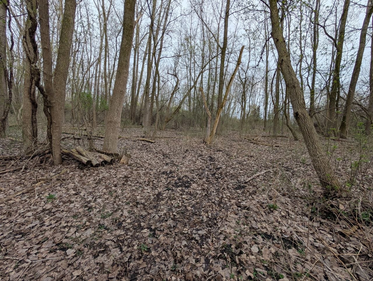
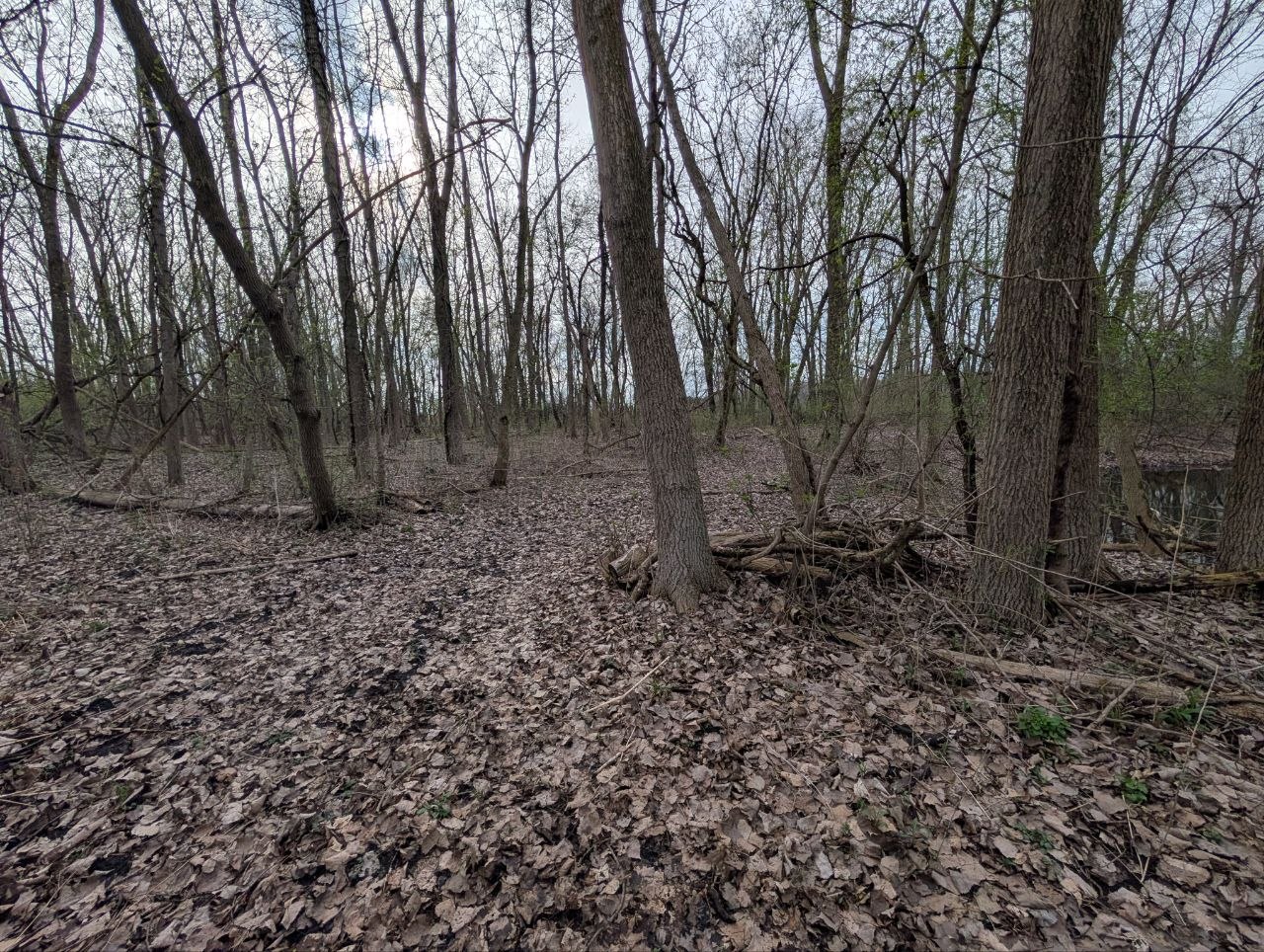
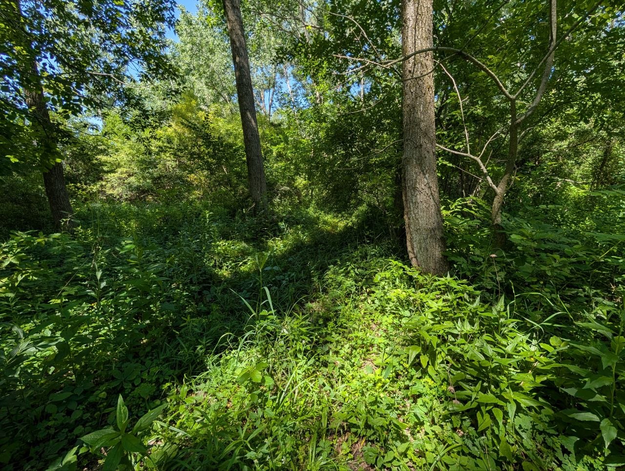
POI #8
Between the easternmost pond and the red trail.
No photos on file.
POI #9
This is on the north side of the lodge and is a close knit intersection of trails. Plenty of areas to put a sign up but because of the close proximity of flower gardens, I think a metal post is needed on the trail leading to the west trail system.
POI #10
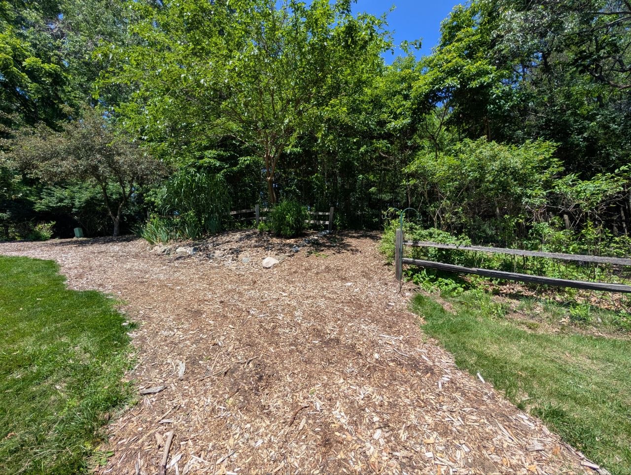
This is where a trail starts/ends by the north east bus parking lot. There is an existing wooden post that can be used for signage.
POI #11
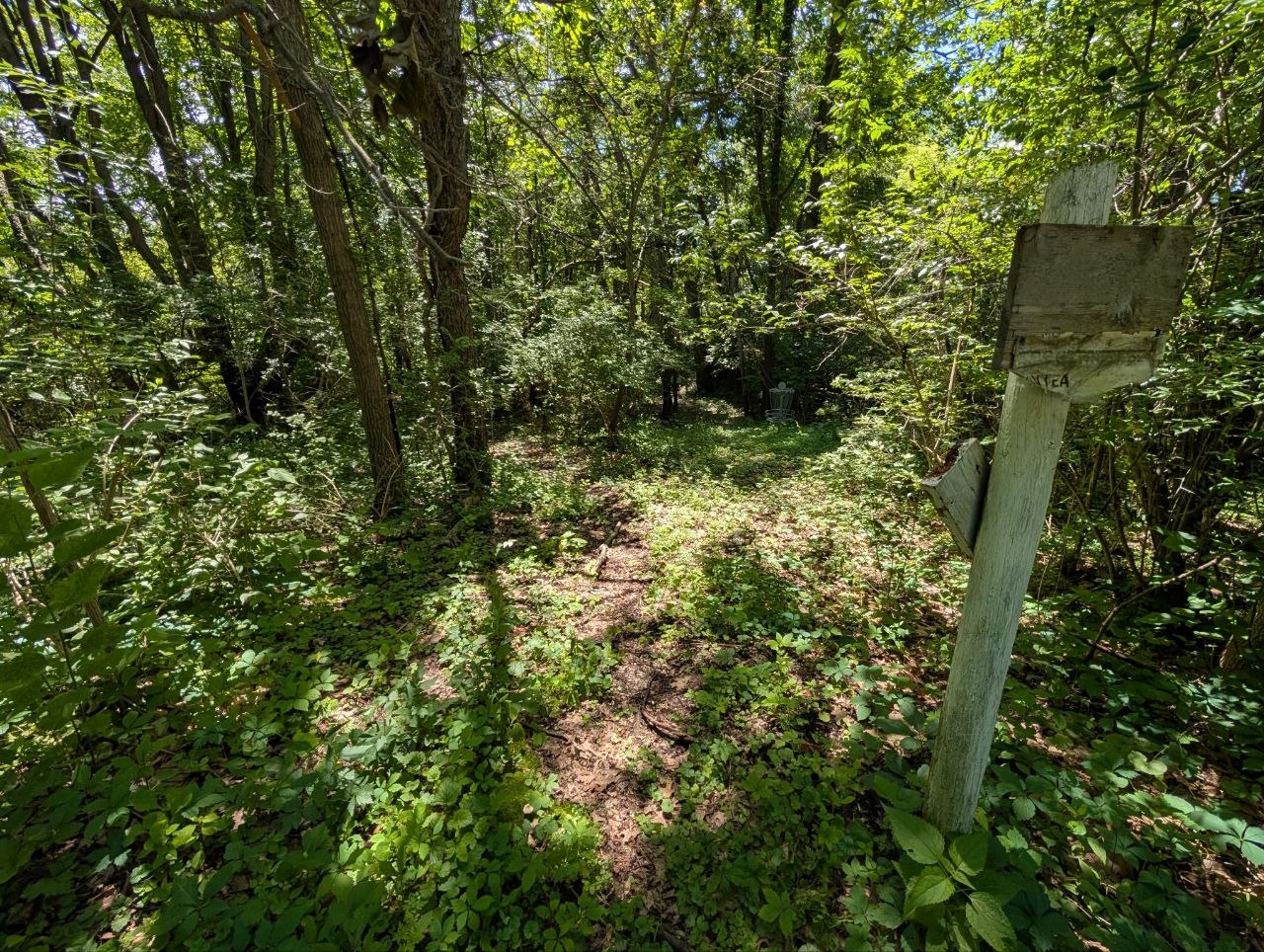
3-way intersection. There is a tree on the north side of the intersection.
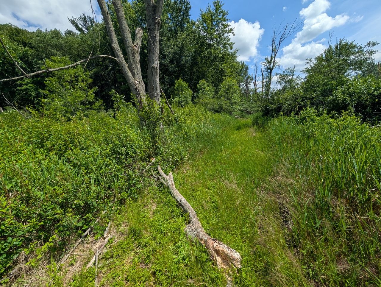
POI #12
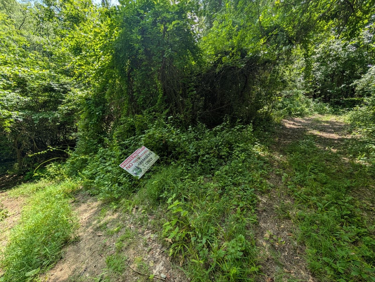
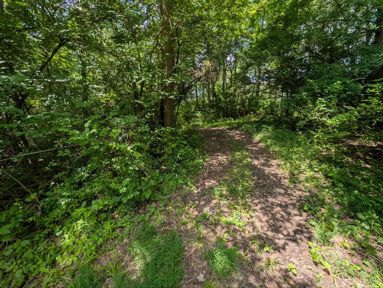
Intersection 12 is just north of 11. Theres a downed tree just north of the intersection on the trail leading towards Drumheller rd. Post could be placed on the west side of intersection with one trail marker and map. I need to edit or grab the waypoint for 12.
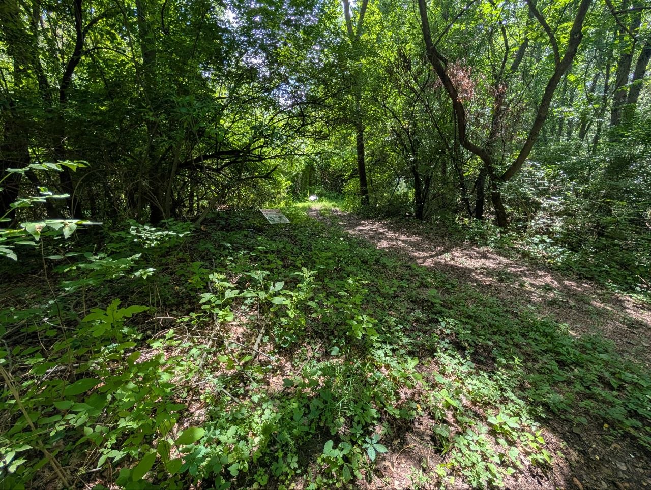
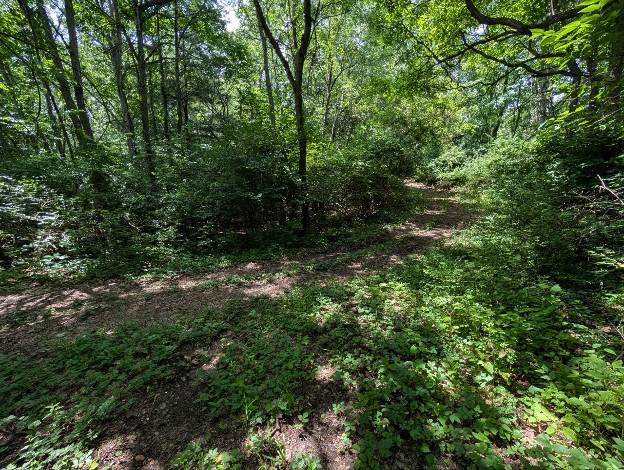
POI #13
At the trail start right off of Drumheller Rd. A wooden post is present and could be used for the signage.
No photos on file.
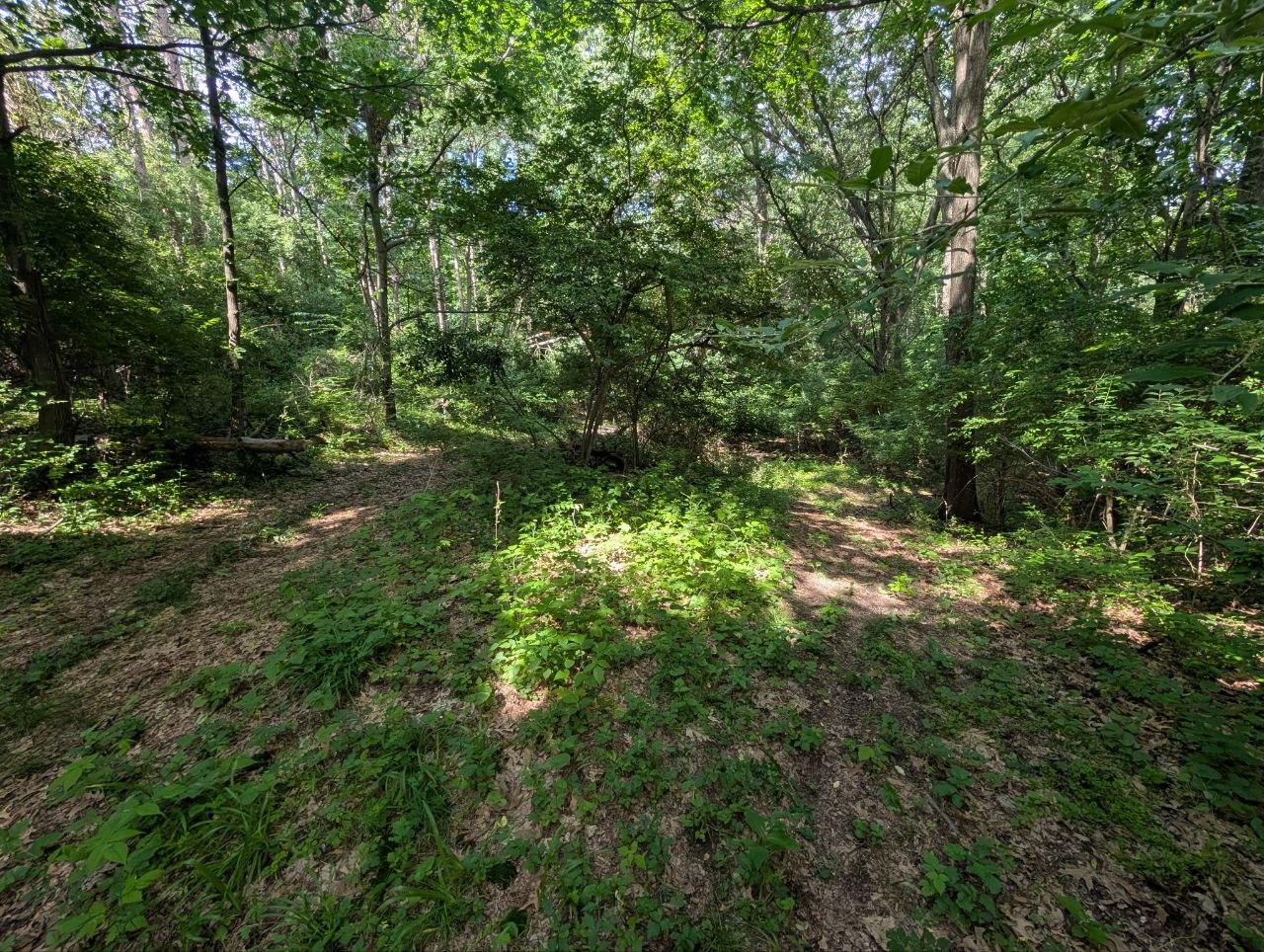
POI #14
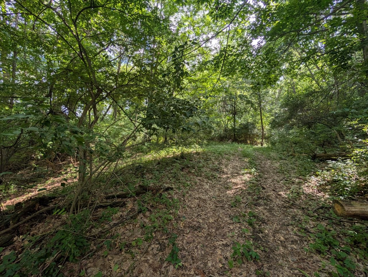
POI #15
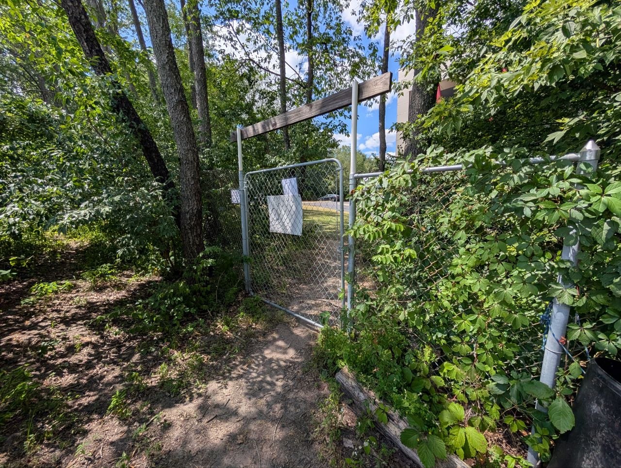
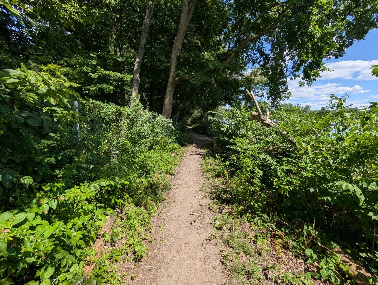
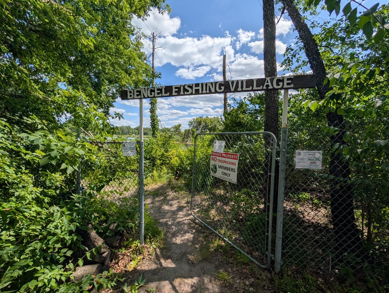
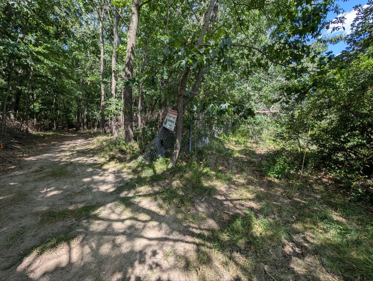
Plenty of trees to place a sign at, right next to fishing village island area.
POI #16
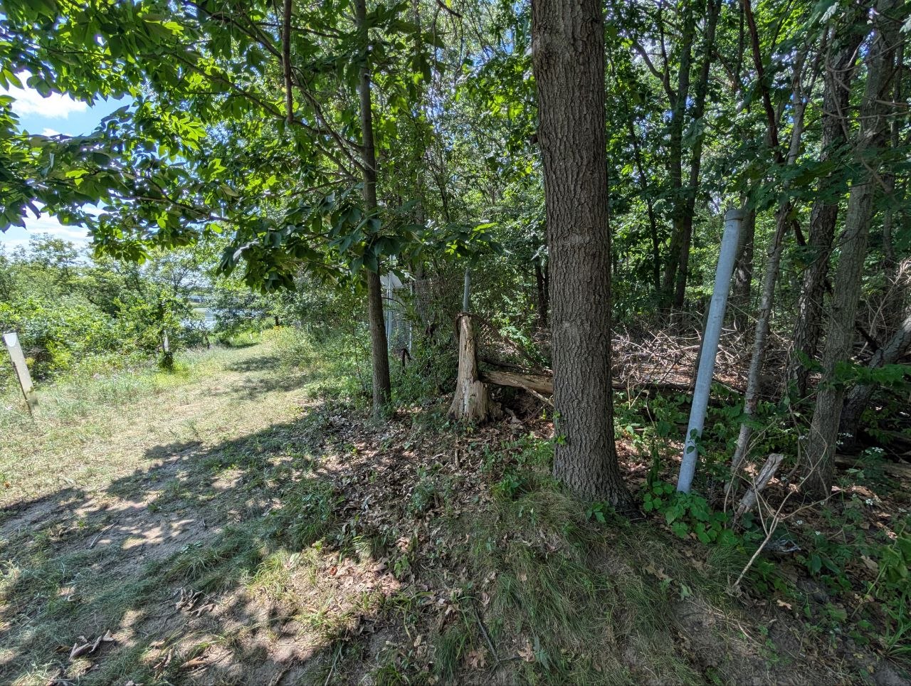
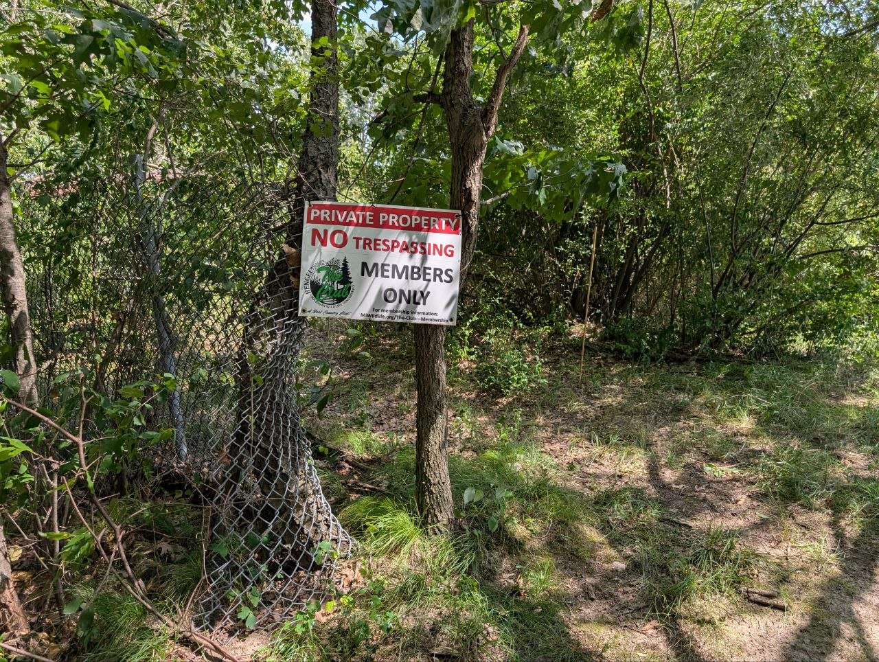
Gate would be perfect for the sign.